Waterway Navigation App Based on the Inland Ecdis Format V 2.3.
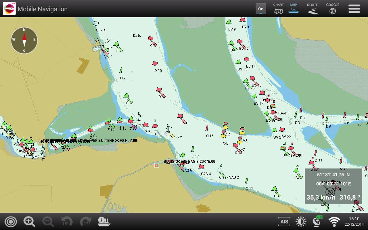
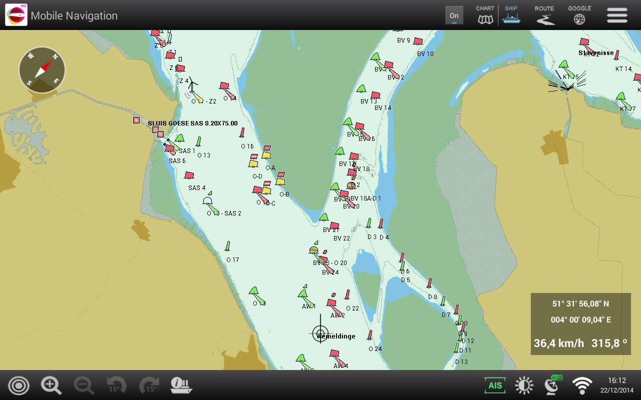
With the PC-Navigo app you can navigate on smartphone and tablet. The map material used is based on the Inland ECDIS format V 2.3, the standard in Europe for navigation on inland waterways.
All required information is available on the cards. The cards are updated on a weekly basis and are offered in a subscription formula with a certain term.
Most smartphones and tablets have a built -in GPS so that the correct position on the card can be shown immediately. GPS information can also be read in via WiFi from a network on board.
The basic functionalities for ship navigation are available and are simple, clear and well -arranged:
• Showing of detailed cards from the waterway
• Search for place names and areas
• Choice of details, text size and colors
• Zoom In / Zoom Out
• Sailing with north above or course above
• Possibility of rotating the card
• Automatic centering the ship on the map
• Display of course and speed over the ground
• Route planning via waypoints (route points)
• Display of iOS Maps as an alternative is possible
• Display of ship position via the built -in GPS
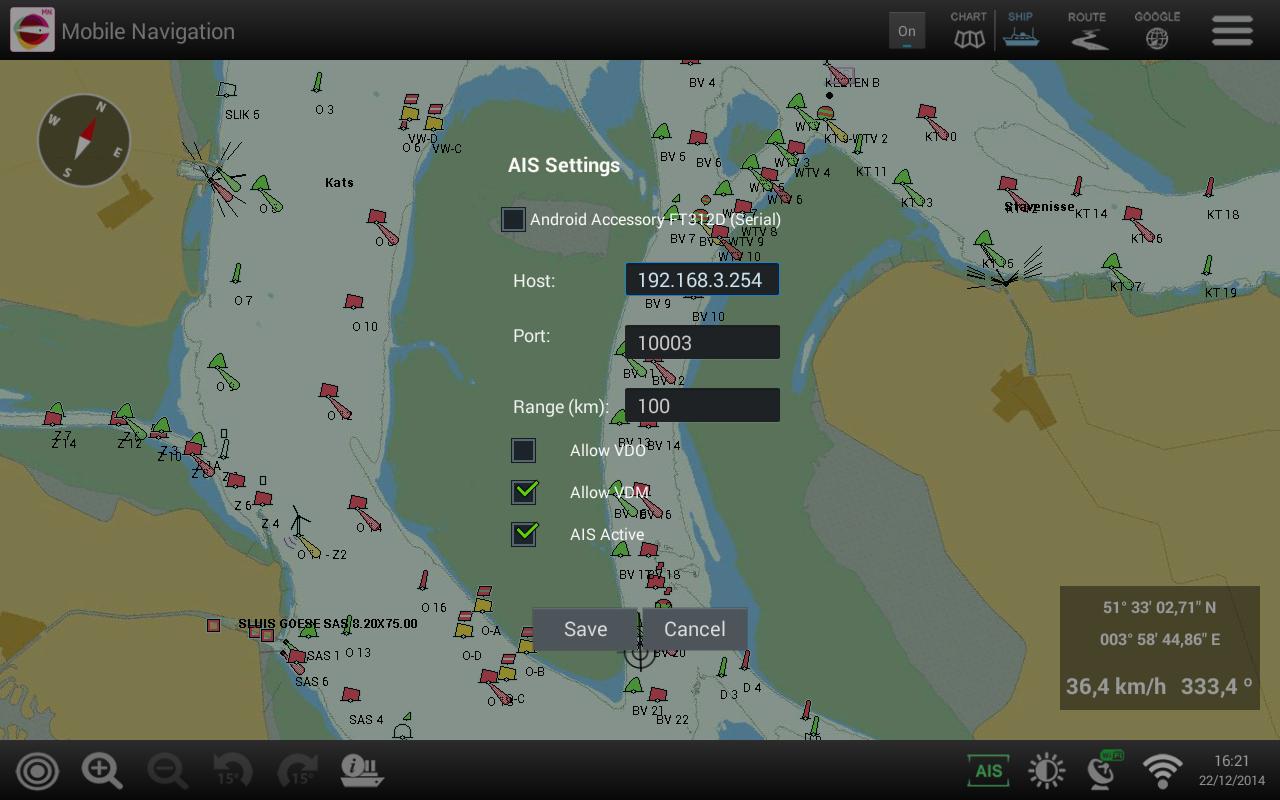
• Display of AIS information via WiFi (optional)
• Driving, programming inland AIS device via WiFi or a serial cable (optional)
Read more